Overview
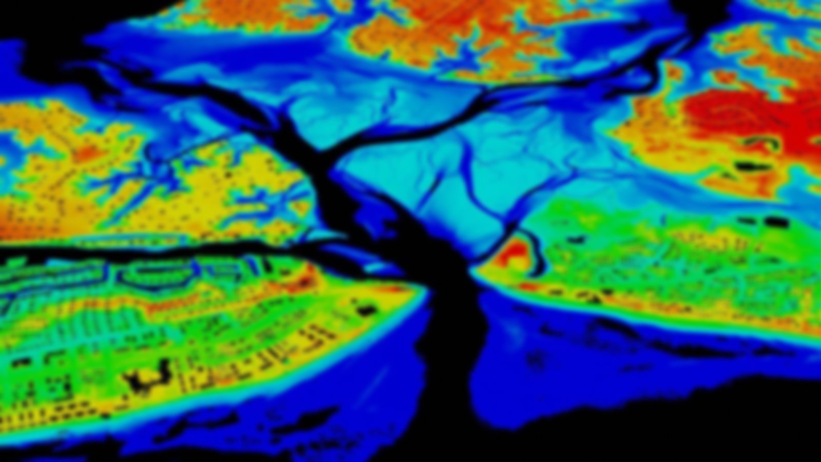
High-resolution (meter to sub-meter scale) topographic data acquired with lidar and other technologies are available. Also provided are web service-based access, processing, and analysis. The provider is a data facility funded by the National Science Foundation’s Earth Sciences: Instrumentation and Facilities Program.
